Commonwealth Avenue (BU East) Bike Lanes
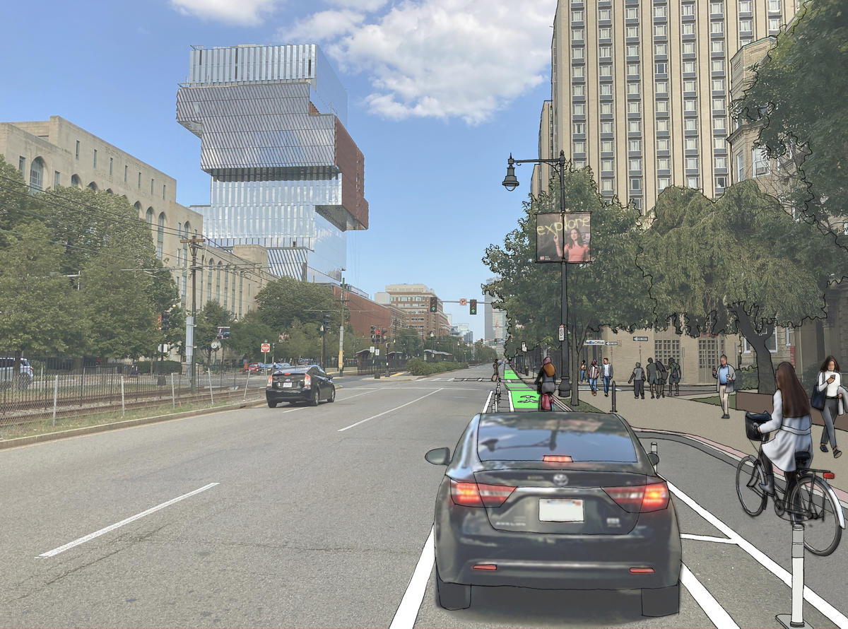
Comm. Ave. was one of the first streets in Boston to have a bike lane. Now, it's time to make them better.
We are working with Boston University and nearby residents to create separated bike lanes between:
- University Road/Carleton Street, and
- Beacon Street/Massachusetts Avenue.
On a regular day, you'll find 1,000 people biking along Comm. Ave. near Silber Way. On a sunnier day, you're likely to see over 2,000 on bikes. But, Comm. Ave. is also one of the most crash-prone streets in the City for people on bikes.
Talk with us
EventsProject Area
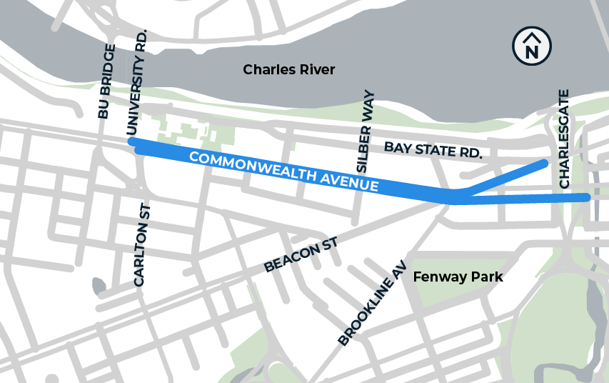
The project area includes Commonwealth Avenue from Charlesgate to University Road.
Talk with us
Here are some ways you can talk with us about Commonwealth Avenue.
MEET WITH US DURING OFFICE HOURS
You can talk with a member of the project team one-on-one. We will be available between 3 and 7 p.m. every other Wednesday. Sign up for a 15-minute phone call or virtual meeting.
SEND US AN EMAIL
Write your comments to us via email at better-bike-lanes@boston.gov.
UPCOMING: FIND US AT A POP-UP EVENT
We plan to host pop-up events on the street this spring to talk with neighbors about the project. Sign up for email updates to receive more information as it becomes available!


