Street Planning and Design Glossary
We use a lot of different terms when we talk about our work to plan and design streets. We define some common terms in this glossary.
Heard a term you didn't recognize? Let us know.
Street safety tools
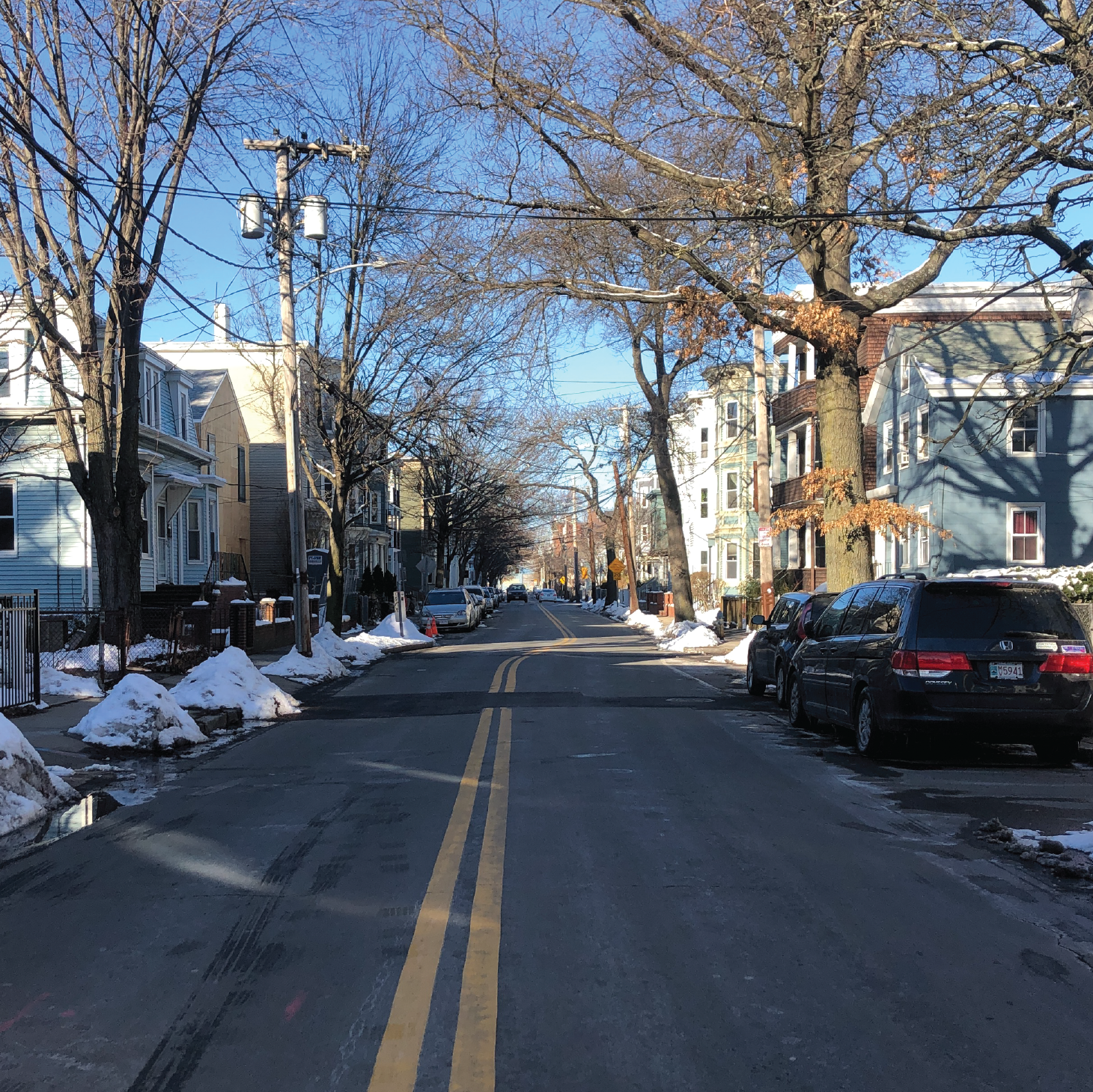
Street safety toolsWe can create a slight “s” curve in an otherwise straight street. Streets that are relatively straight can empower drivers to travel too fast. The curve encourages drivers to reduce their speed.
Chicanes are appropriate for streets that are only one- or two-lanes wide. We can create the curve by putting parking on alternating sides of the street. In reconstruction projects, we can build curb extensions to create the curve.
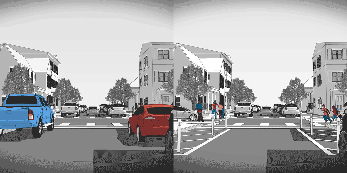
Parking is prohibited ahead of a crosswalk or intersection. Parked vehicles or other obstructions can block views of other people driving, biking, or waiting to cross. When parking is restricted, drivers are more likely to see approaching vehicles or people crossing the street. This reduces the likelihood of crashes at intersections.
Clear corners also make it easier for fire trucks, delivery trucks, and other larger vehicles to turn. With clear corners, these bigger vehicles are less likely to scrape other parked cars or get stuck.
We add "No Parking" signs to mark the area where parking is prohibited. We can also add a painted box with diagonal lines and plastic posts in the space as a reminder. In construction projects, we can build curb extensions using granite and concrete to prevent people from parking too close.
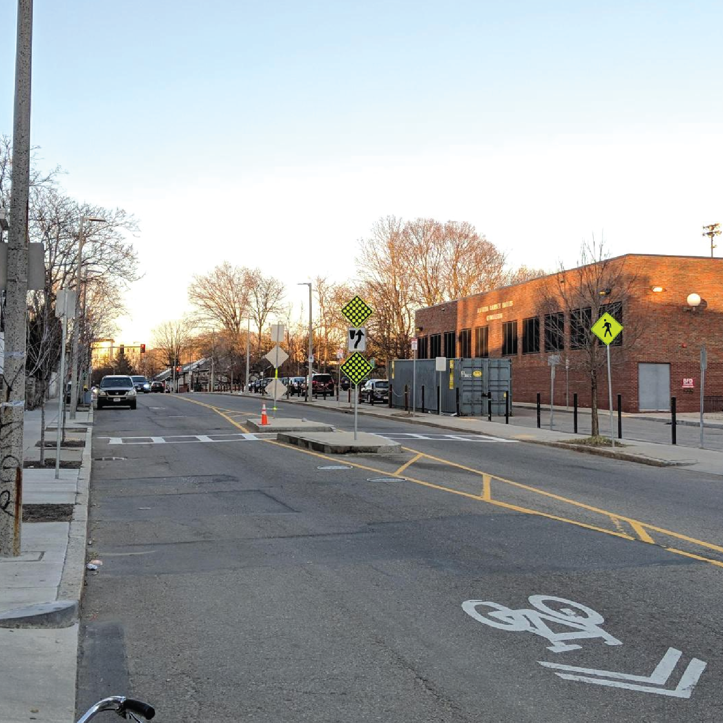
A crossing island allows people to pause while crossing multiple travel lanes. Crossing islands help people feel safer at intersections or mid-block crossings. They enable people to cross the street in two stages. Crossing islands can also slow turning traffic by ensuring that drivers cannot “cut” turns quickly.
We can create crossing islands with pavement markings and vertical flexible posts. We can also build them with raised areas of concrete and granite.
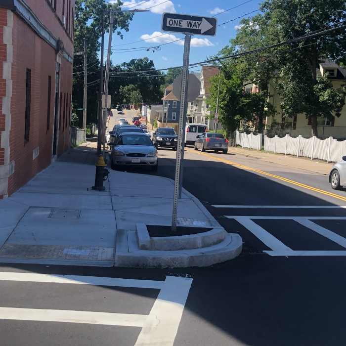
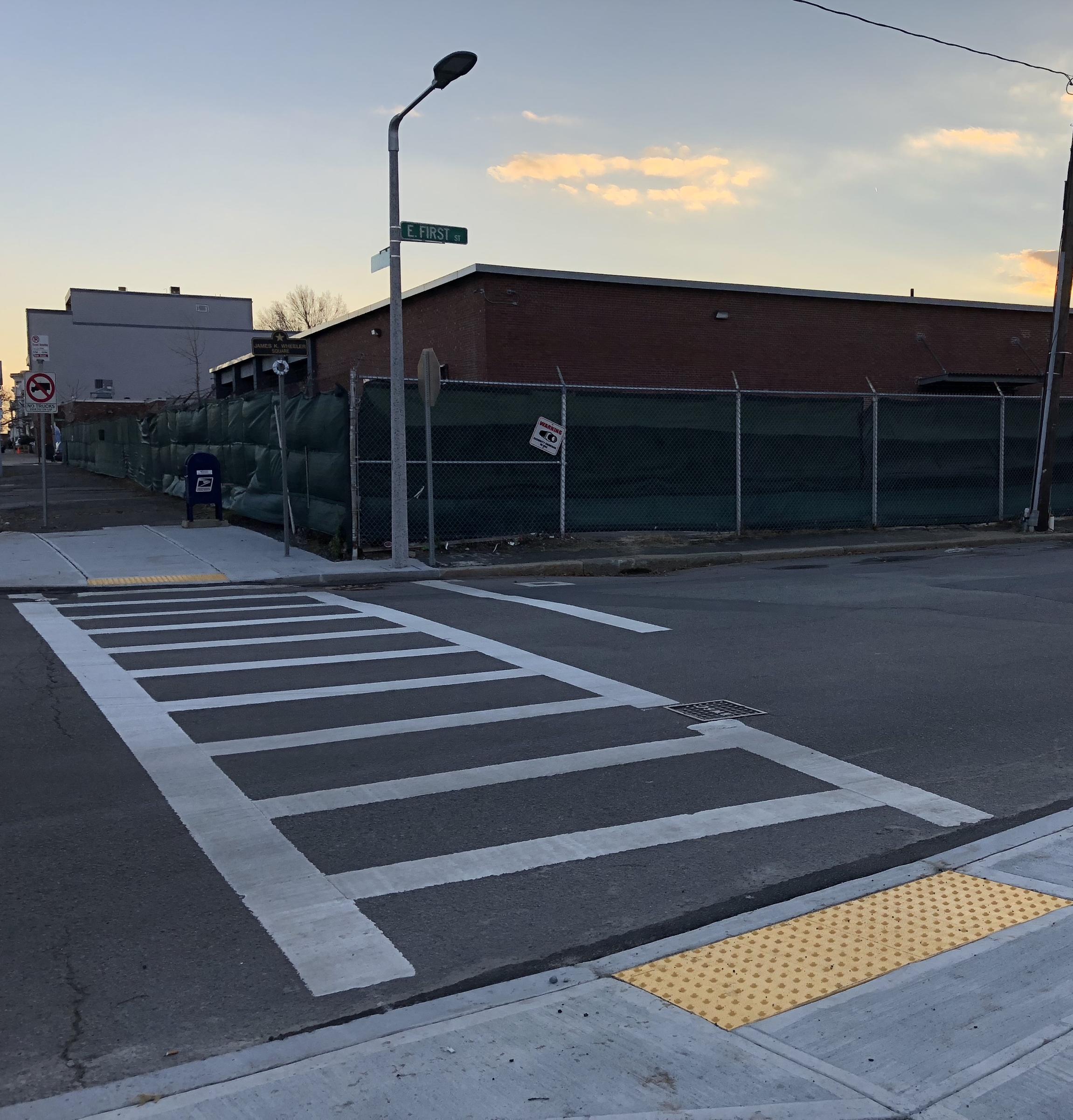
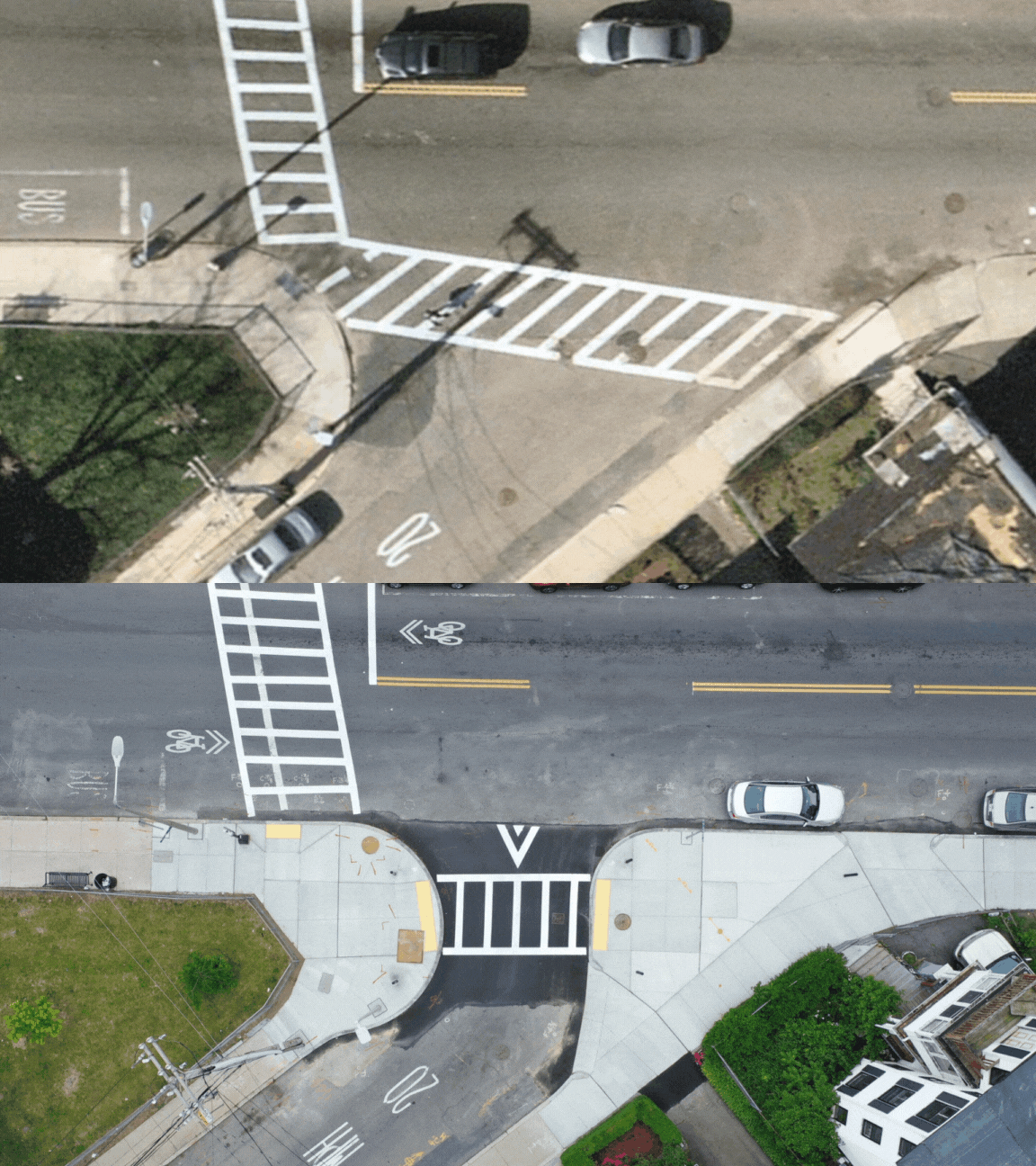
A curb extension is where the sidewalk extends into the parking lane. Curb extensions mean people have a shorter distance to cross from one side of the street to the other. They also make more room for people to wait before crossing. Sometimes, we need to build a curb extension to ensure that our crosswalks are accessible for people who use wheelchairs.
Curb extensions restrict people from parking too close to crosswalks. As a result, people waiting to cross on a curb extension are more visible to drivers. Curb extensions can also slow drivers as they turn, making intersections safer for everyone.
Sometimes, a curb extension can be used as a bus stop. We can add a shelter or bench to improve your comfort while waiting.
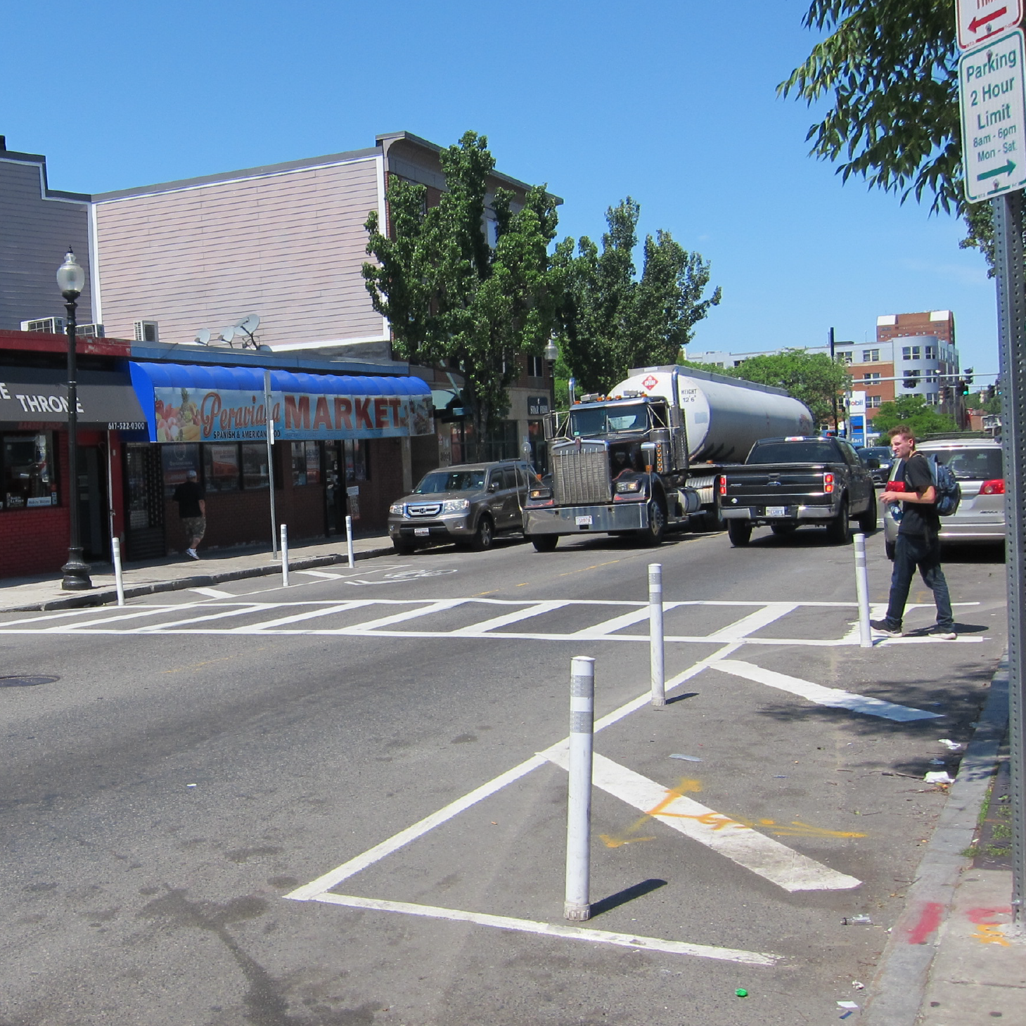
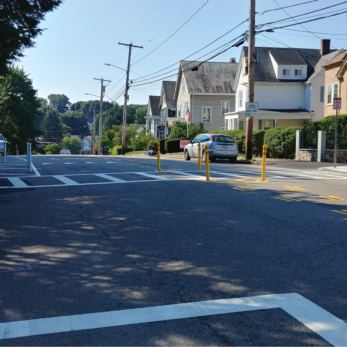
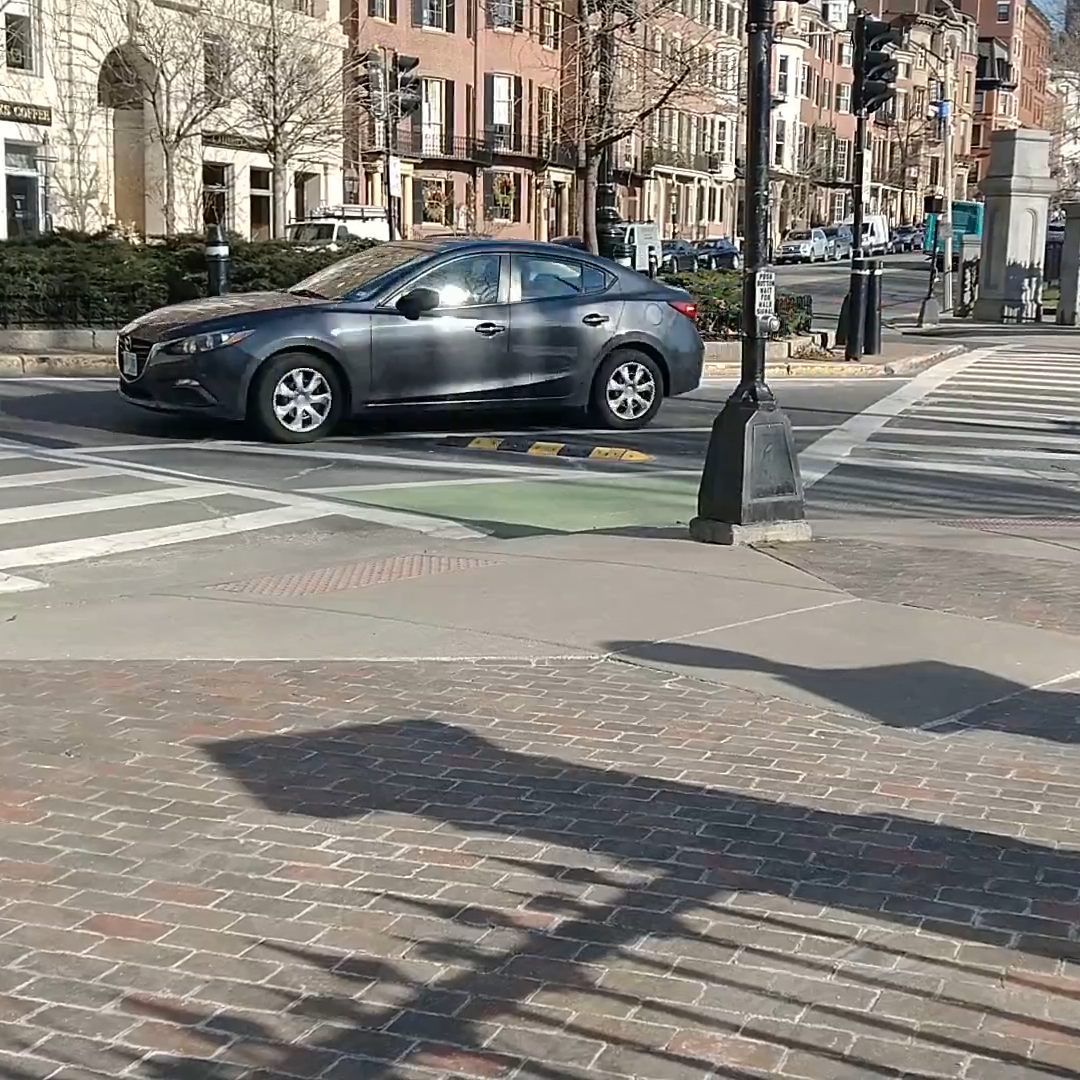
A hardened centerline reduces turn speeds and enforces safe turning behavior. We install a line of plastic delineator posts on the yellow centerline. This encourages drivers to turn into their intended lane, rather than "cutting" the turn through the crosswalk.
Hardened centerlines can also be used to restrict turns.
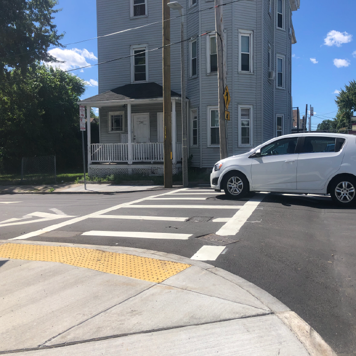
The most visible type of crosswalk looks like a ladder. This type of crosswalk has a row of thick white bars between two horizontal bars. All new crosswalks in the City of Boston are ladder-style crosswalks. We apply a reflective treatment to the white markings.
Crosswalks that have bricks or other decorative elements are not as easily seen by oncoming drivers, especially in the dark.
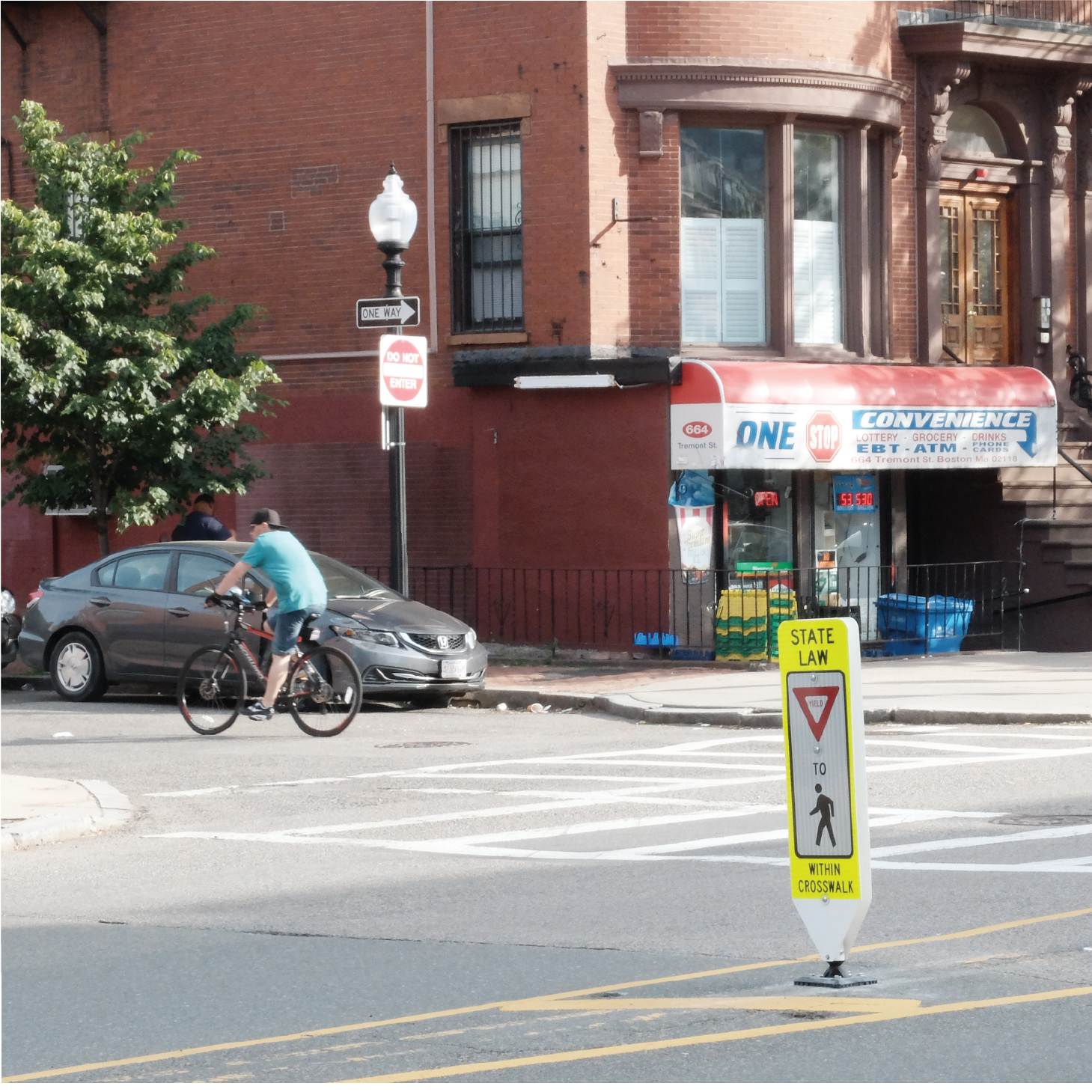
In the middle of the street, we can place signs to remind drivers to yield to pedestrians. They look like a paddleboard and are attached to the ground. We only place them at unsignalized crosswalks where there is room for larger vehicles to travel without hitting them.
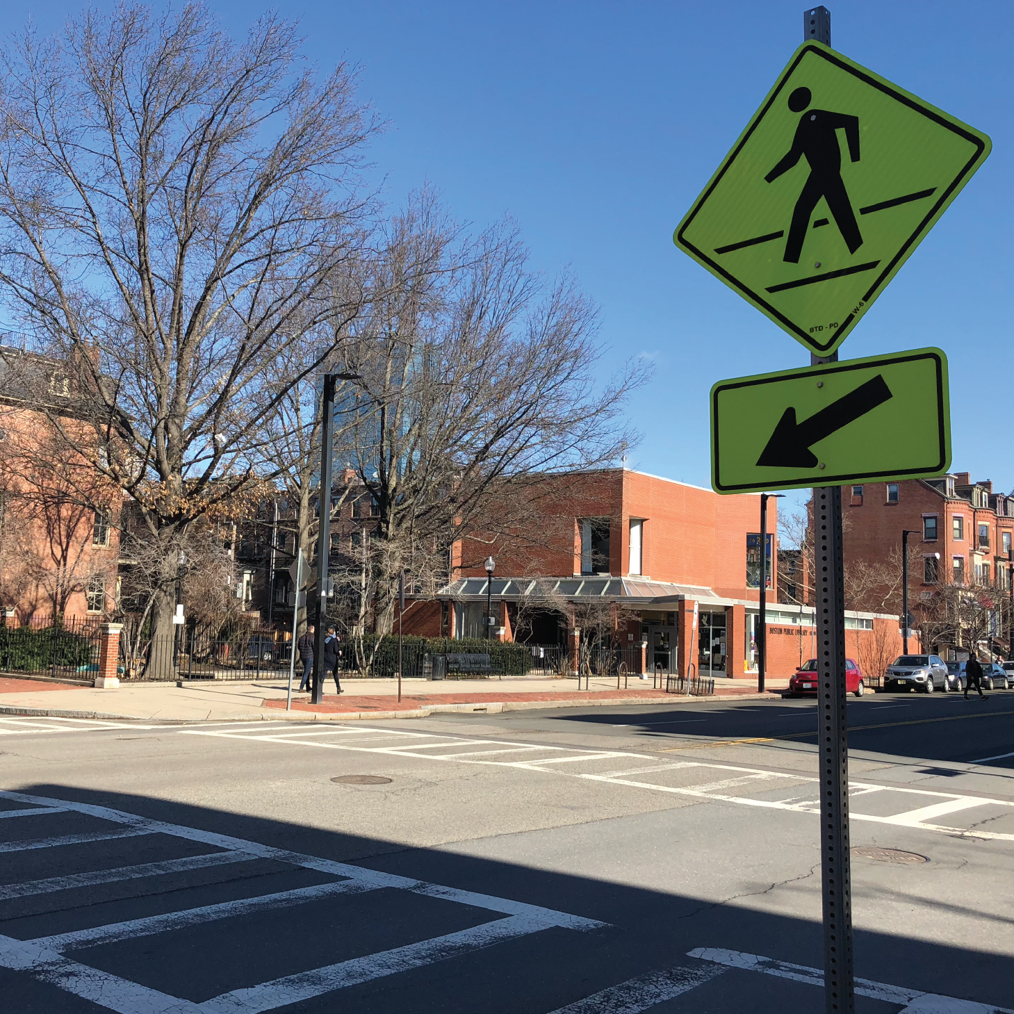
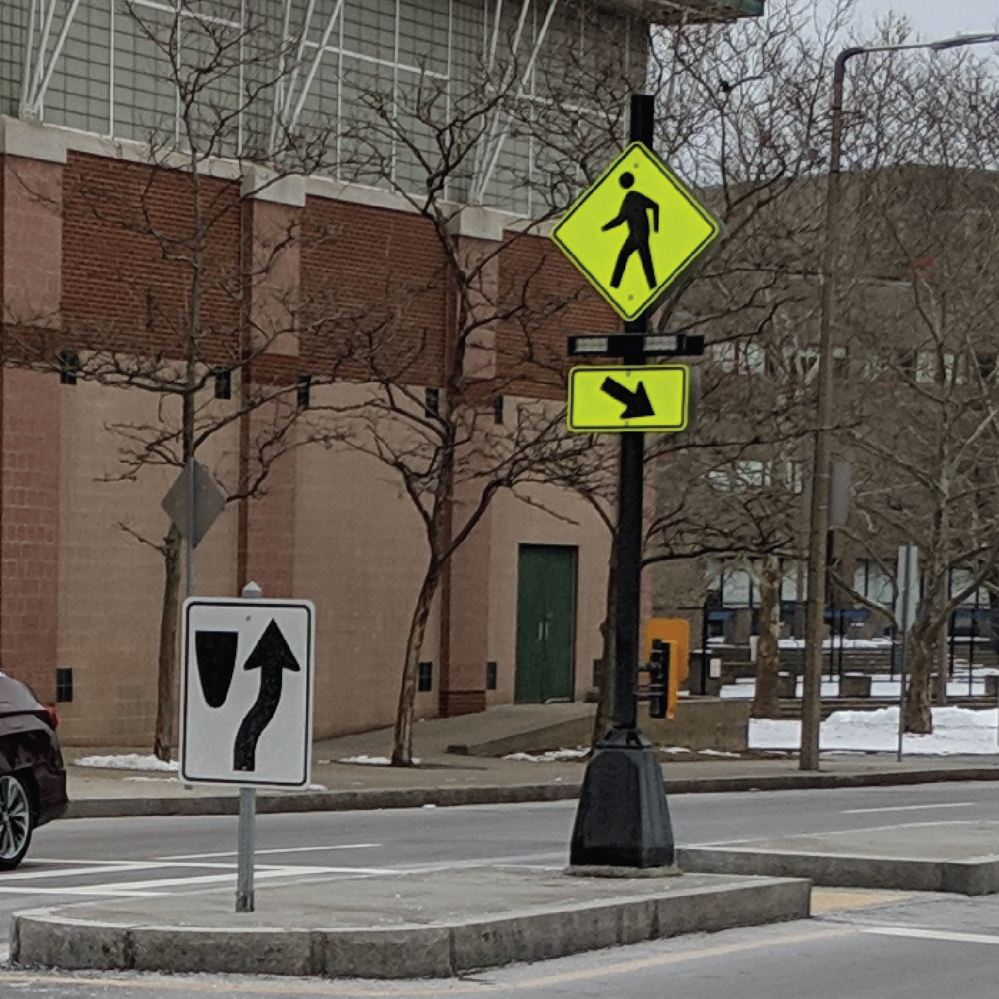
Pedestrian warning signs can be installed at unsignalized crosswalks. Often, the image of a person walking in a diamond shape is accompanied by a sign with an arrow pointing at the crosswalk.
These signs provide even more notice to drivers as they approach crosswalks. Signs rely on people to observe and change their behavior.
Raised crosswalks are the same level as the sidewalk. They make crossings more comfortable for people who use wheelchairs and other mobility aids. Because they are raised above street level, people driving have to slow down. The design of a raised crosswalk often includes curb extensions. The curb extensions prevent people from parking too close to the crosswalk. This further improves the safety and visibility of crossing locations.
Raised crosswalks are one of the more intensive safety tools to build. Often, we must build new drains or move utilities. As a result, designing them can take a lot of time.
We generally do not propose raised crosswalks across busier streets or streets with MBTA bus routes.
A raised intersection raises the whole crossing area at a three- or four-way intersection. This means that the crosswalks and the space where all streets meet are the same level as the sidewalk, which makes drivers slow down.
We generally do not propose raised intersections across busier streets or streets with MBTA bus routes.
A rapid flashing beacon features small, rectangular, bright flashing lights underneath a pedestrian warning sign. The light flashes temporarily when someone pushes the button on the sign post.
Rapid flashing beacons are used for mid-block or unexpected crossing locations. They are effective in gaining drivers’ attention and improving yielding to pedestrians in the crosswalk. They cannot be used near intersections with a traffic signal.
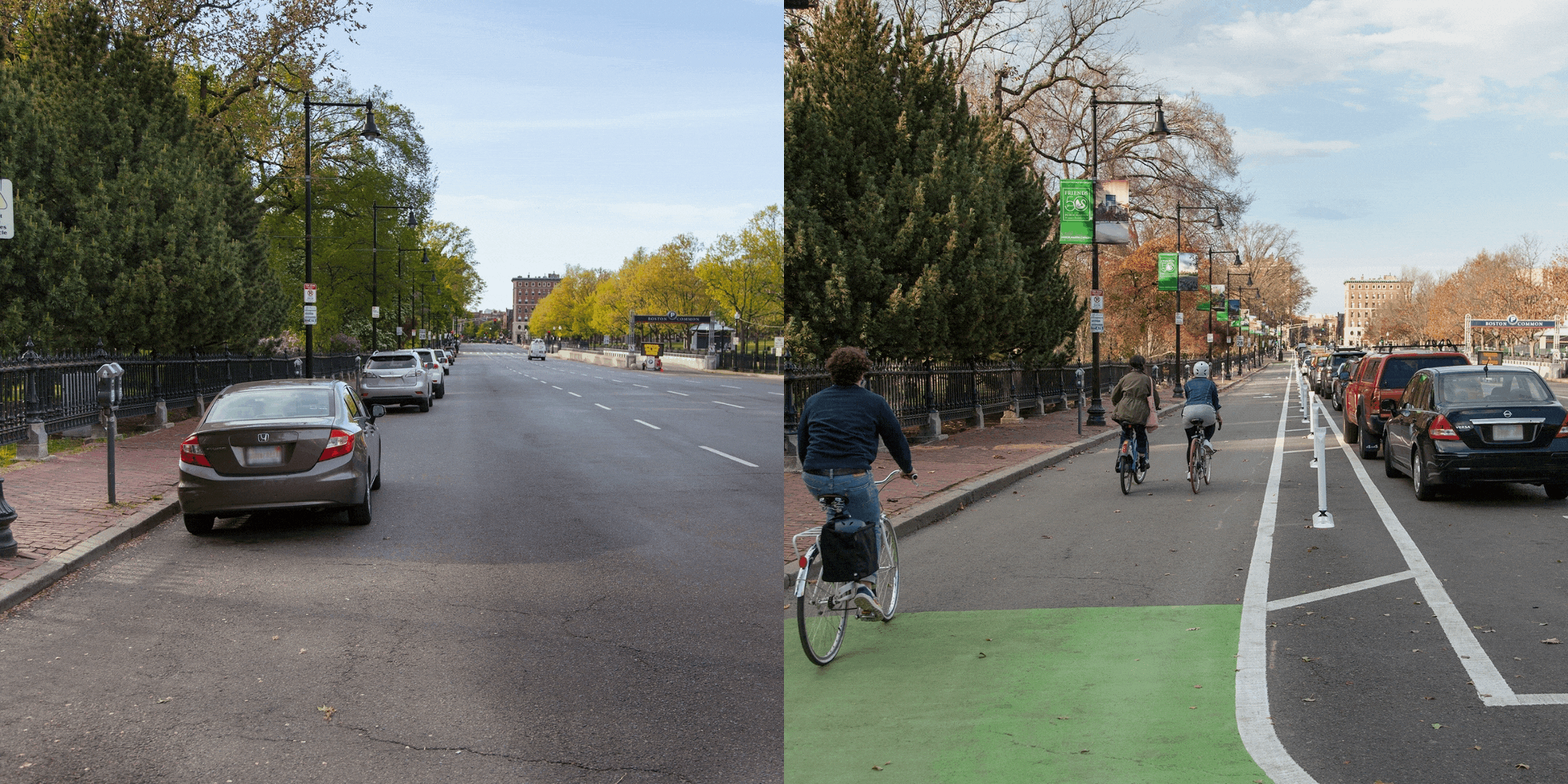
Thoughtful reallocation of space on our streets can calm speeding traffic, create safer crossings, add dedicated bike lanes, or more. There are many different possibilities for the way space is used on a street. Reducing the number of travel lanes or parking spaces makes room for street safety tools that can benefit everyone.
Roundabouts feature a center island, crossing islands, and curb extensions. The crossing islands and curb extensions slow and direct drivers as they enter the roundabout. Drivers must pause and watch for people crossing on foot first. Then, they look for oncoming vehicles. This makes it safer for people on foot and simplifies things for drivers.
Roundabouts are a type of circular intersection. However, they are different from rotaries and traffic circles often seen in Boston and other New England cities. Roundabouts feature much smaller circles and are designed to promote slow entry and circulating driving speeds. Drivers do not need to change lanes as they move along the roundabout. Rotaries have much higher entry and circulating speeds. Changing lanes is often needed to complete certain movements.
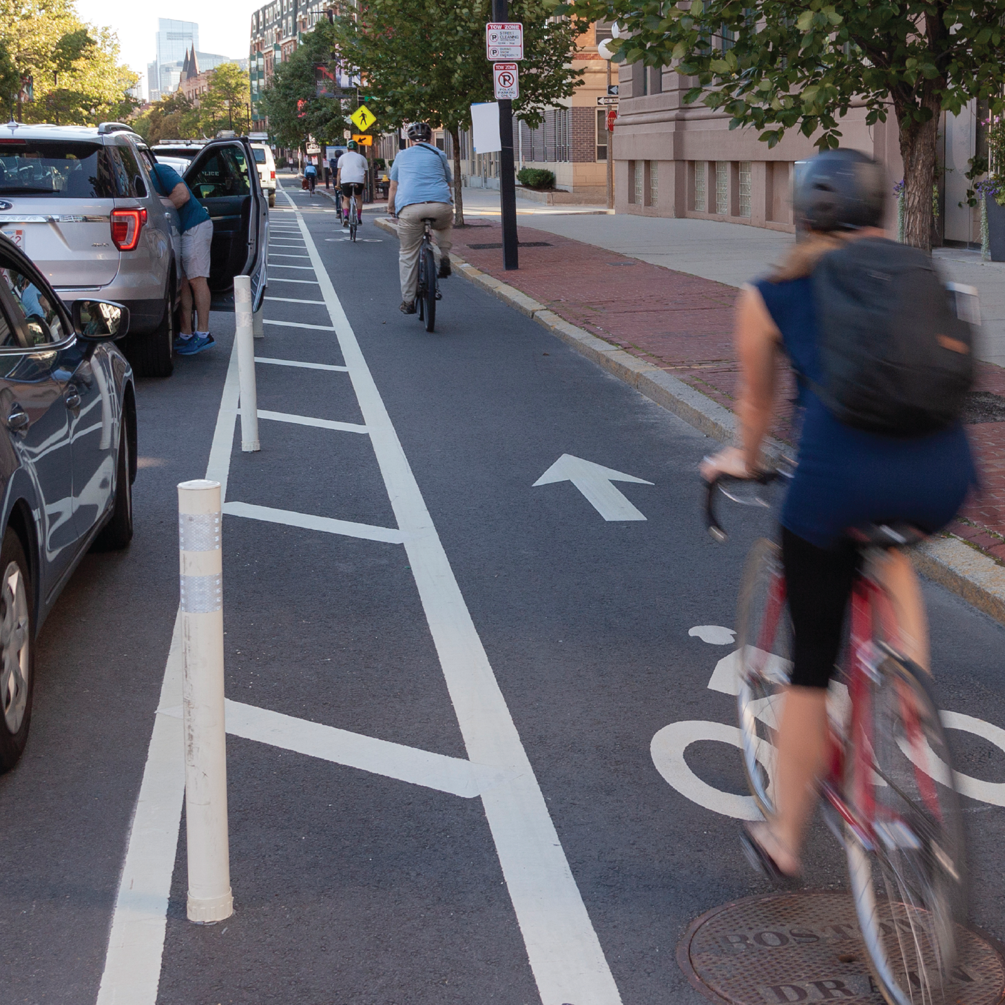
Streets with dedicated space for people biking, separated from sidewalks and general travel lanes, are safer for everyone. Separated bike lanes provide more space and vertical separation between people on bikes and people in cars. More people are comfortable biking in separated bike lanes than in traditional bike lanes or in traffic with cars, buses, and trucks.
We often right-size roads to create separated bike lanes. This means calmer traffic with less weaving. At intersections, people typically have a shorter distance to cross and visibility is better.
Learn more about separated bike lanes on our better bike lanes page.
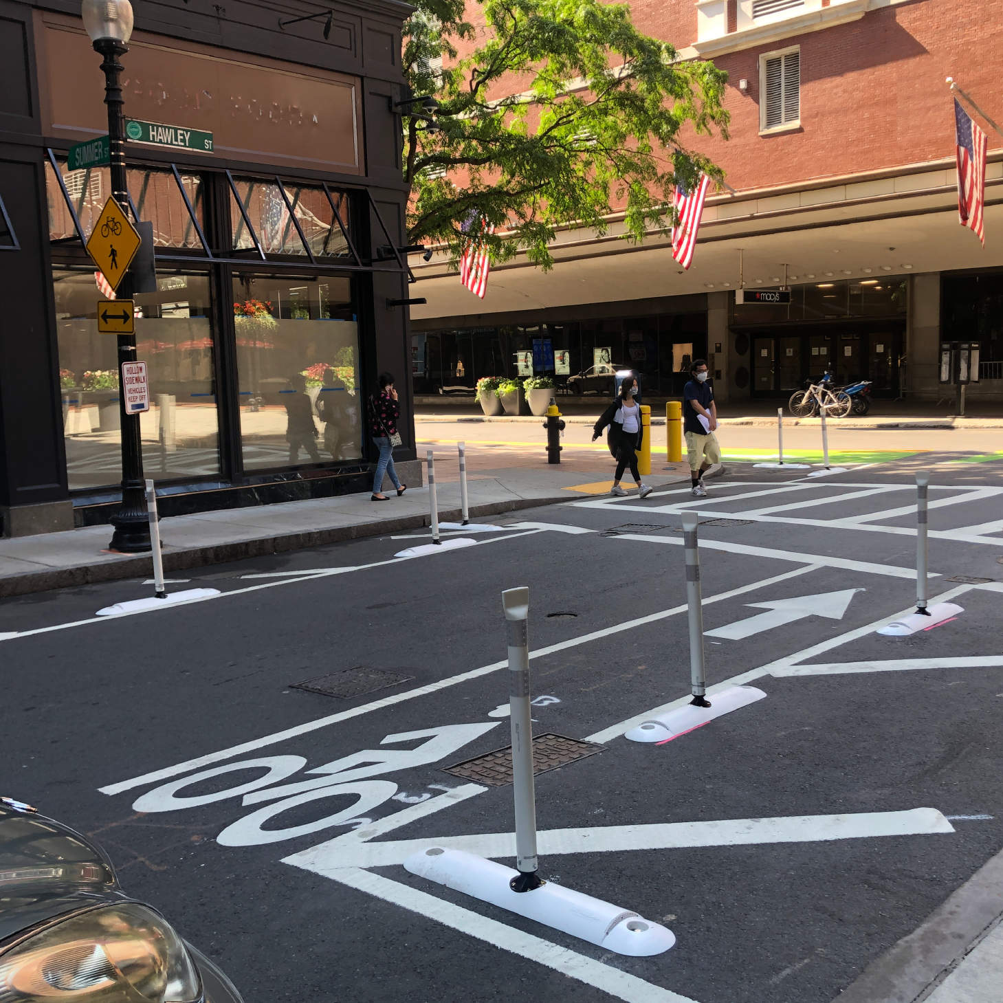
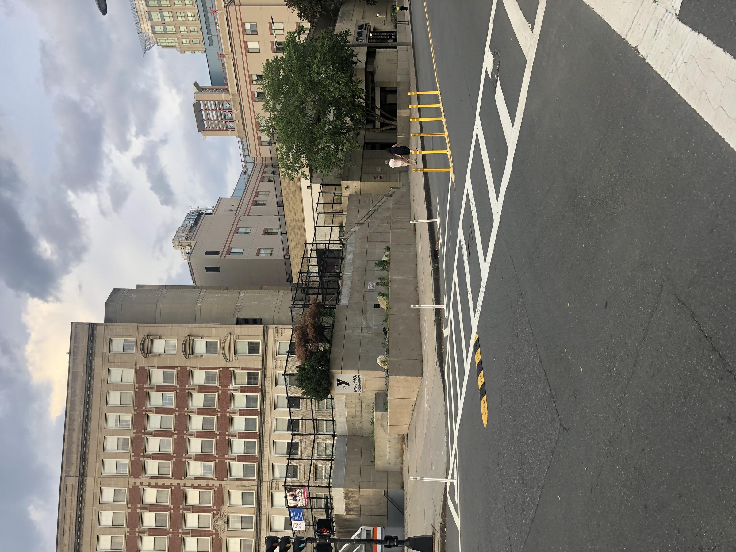
Slow-turn wedges slow down drivers who are turning. We create them with:
- pavement markings
- small rubber bumps, and
- sometimes, flexible delineator posts.
They discourage people from turning quickly from one street to another. Slower drivers are better able to see people crossing the street, people in bike lanes, and other drivers.
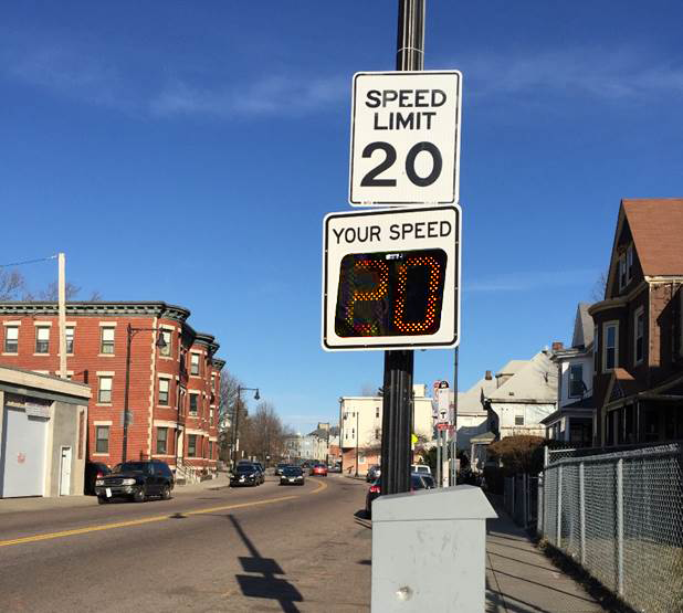
Speed feedback signs are digital signs that display a driver's speed. If the driver is exceeding the posted speed limit, the digital sign flashes.
Speed feedback signs can help reduce the number of drivers going very fast (10 or more miles per hour over the speed limit). The long-term effectiveness of these signs is not known.
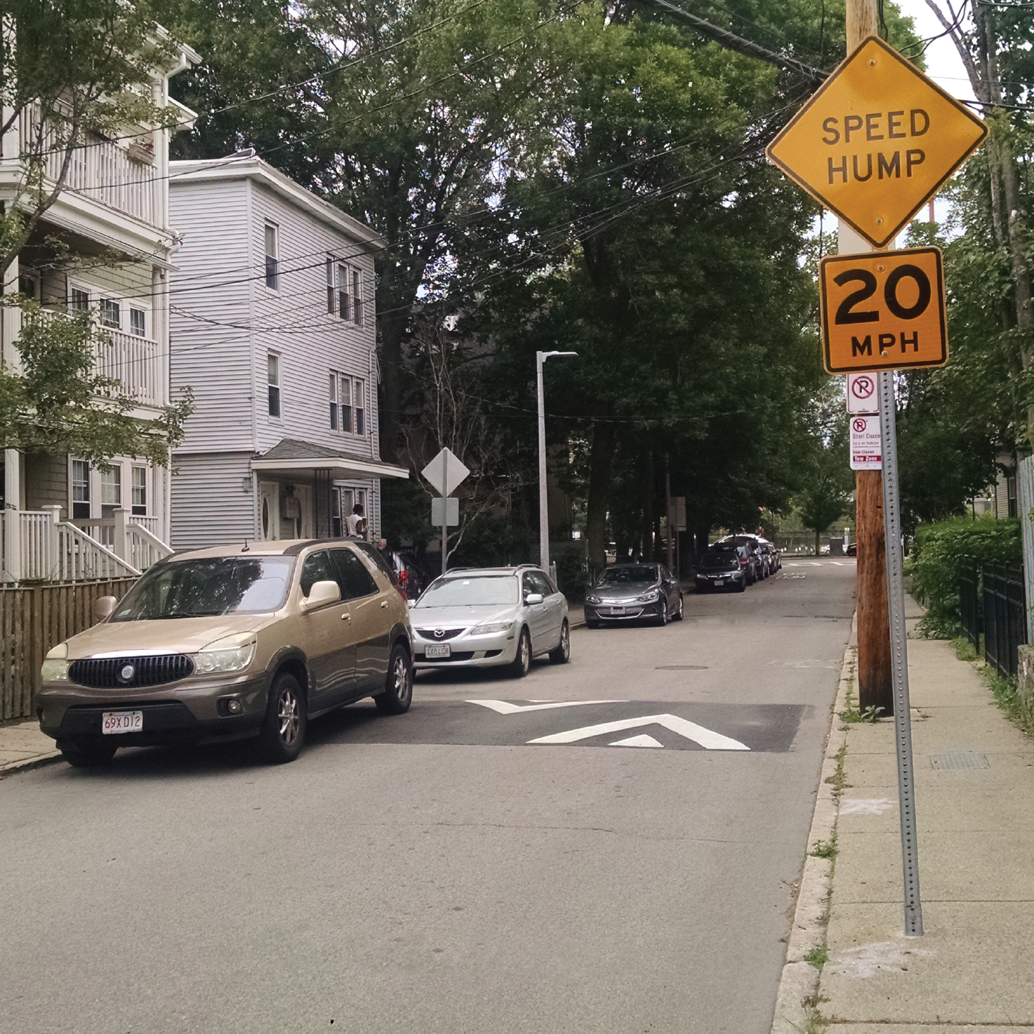
Speed humps are a series of gradual mounds of asphalt in the street. They are three inches high and 12- to 14-feet long. Speed humps are comfortable to drive over at 20 miles per hour or less. We paint white triangles on the street and install yellow “Speed Hump” signs so drivers are aware.
We only use speed humps on streets that are relatively flat, straight, and are one or two lanes wide. Speed humps are built every 150 to 250 feet apart to prevent drivers from speeding between them. Speed humps do not impact drainage, street sweeping, snow removal, or street parking.
Speed humps are only used on smaller “side” streets. They are not appropriate for wider, busier streets or for streets with MBTA bus routes.
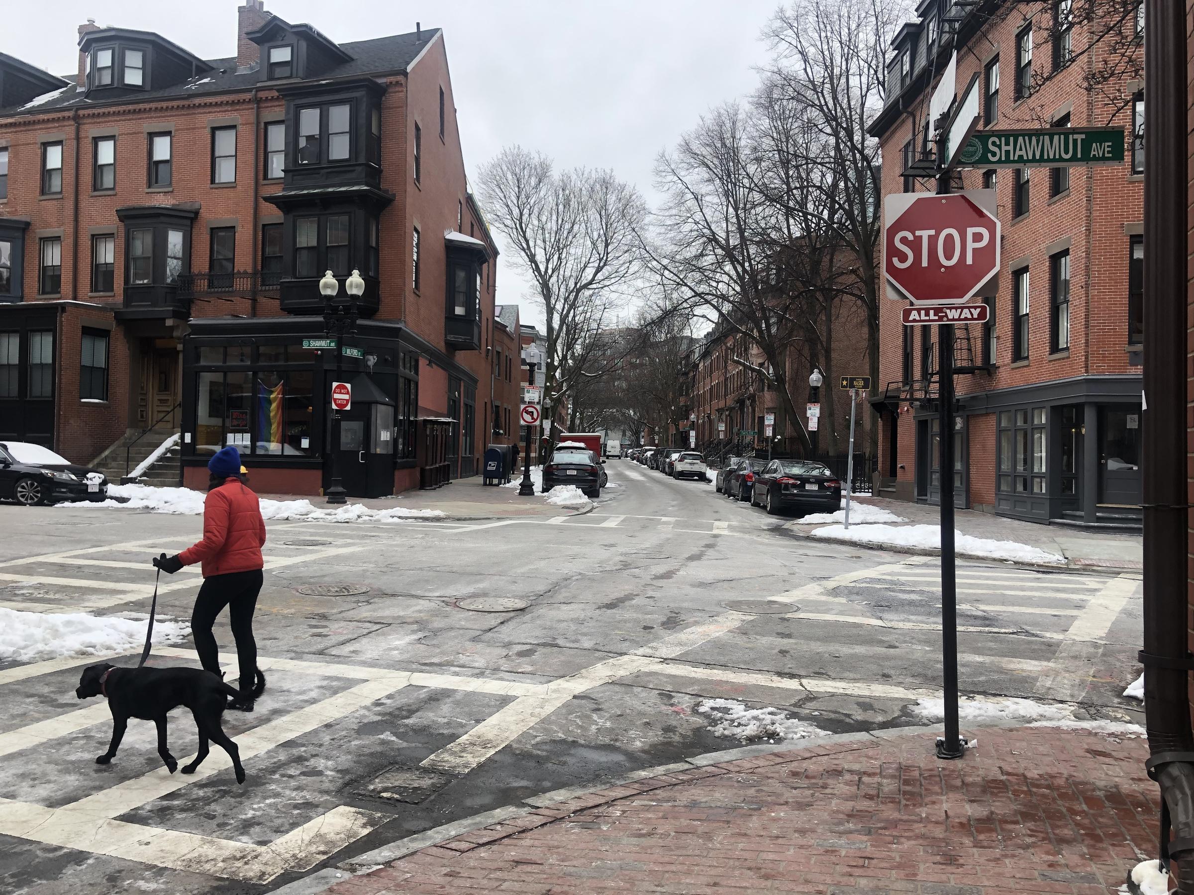
A stop sign regulates the flow of drivers at an intersection. Where they are posted, drivers must come to a full stop, look, and yield to other people in the intersection. Stop signs are not to slow traffic.
Usually, stop signs are installed on a less busy road when it meets a busier road. Where three or four streets meet, we may install stop signs on all streets if they are equally as busy or there are many people crossing the street.
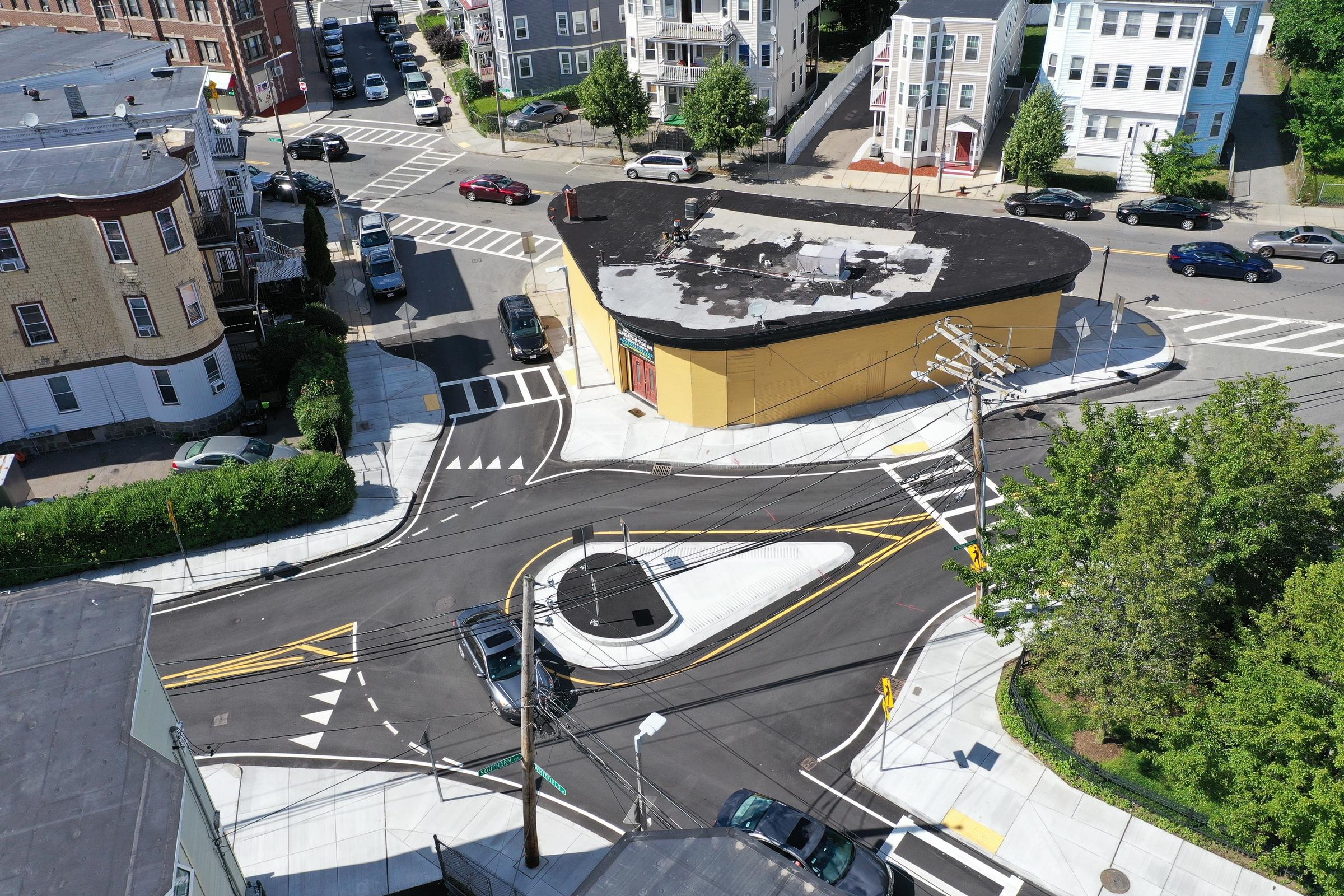
We can build curb extensions to fill in extra space at wide or irregularly-shaped intersections. We design the curb extensions to create a “T” in the intersection instead.
Intersections that are wide or V-shaped can:
- be confusing
- empower drivers to turn fast, or
- make it difficult to safely cross the street on foot.
When we make a T intersection, everyone can better see each other and it is clear who has the right-of-way. Drivers also turn more slowly, making the intersection safer for everyone.

