Boston Green Links
Boston Green Links is a citywide plan to connect people in every neighborhood to Boston’s greenway network. We do this by installing new paths and bike facilities, and safer road crossings.
The plan includes projects in progress by the City, DCR, community groups, and others. It also includes new projects developed with local input. The plan will be implemented over time. This will happen through grants, partnerships, and City-funded projects.
What are greenways and green links?
Greenways are linear parks with paths that provide people with access to natural environments close to where they live. They also encourage healthy active transportation.
Green links are missing bike and pedestrian connections. When completed, they will create a seamless network of greenway paths connected to every neighborhood. Green Links include:
- off-road paths
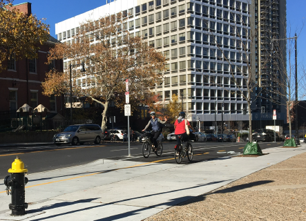
- protected bike lanes
- safer road crossings, and
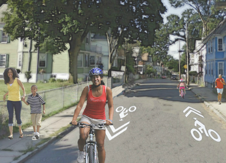
- low-traffic streets, also known as "neighborways".
Why we're building a network
We want to make it easier for everyone to navigate the City and enjoy our green, open spaces. Research confirms what we always suspected. Access to green, open space increases physical activity and promotes good health and peace of mind.
The vision for Boston Green Links is to create a connected network of paths and low-stress corridors. We want people of all ages and abilities to be able to use these paths, whether on foot, by bike, or in a wheelchair.
East Boston Greenway
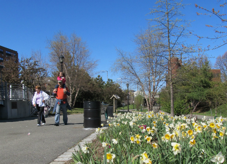
The East Boston Greenway offers three miles of pathway through parks, beaches, and marshe. The pathways can be used by bikers, runners, and walkers alike. (Photo Credit: Boston Natural Areas Network)
Southwest Corridor
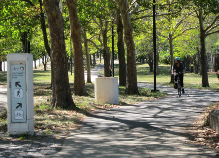
The Southwest Corridor is a 4.7-mile linear park that connects Jamaica Plain, Roxbury, and Downtown Boston. The park is built on land that was cleared to build a highway.
Roxbury to Fenway Connector
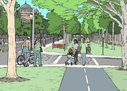
The Roxbury to Fenway Connector is a proposed Green Link. It would include a path between the existing double row of trees on Ruggles Street, between Ruggles Station and Parker Street. (Image Credit: Lawrence and Lillian Solomon Foundation and NBBJ )
Columbia Road
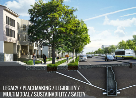
Columbia Road is a proposed Green Link. It would complete Olmsted's vision for an Emerald Necklace that extends from Back Bay to Marine Park (Boston Harbor). (Image Credit: LivableStreets Alliance and NBBJ)
Neponset Greenway
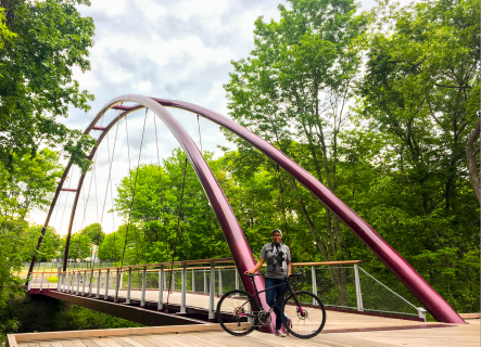
The Neponset Greenway is a nearly completed 10-mile pedestrian and bike trail. It runs through Dorchester, Mattapan, Hyde Park, and the town of Milton. In 2017, a new section that connects to Mattapan Square was opened.
Fairmount Greenway
The Fairmount Greenway is a partially completed six-mile system system of neighborways and greenspaces. It extends through Hyde Park, Mattapan, Dorchester, Roxbury, and South Boston. (Image Credit: Michelle Moon, Fairmount/Indigo Line CDC Collaborative )
FENWAY MULTIUSE PATH
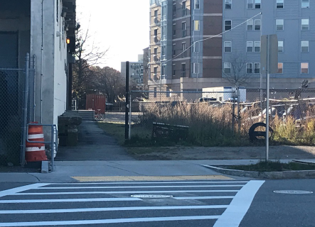
The Fenway Multiuse Path will help bridge a gap in our bike network and will connect the Emerald Necklace to the Fenway neighborhood. The segment from Fenway Station to Miner Street opened in 2022, and the segment from Miner Street to Maitland Street opened Spring 2023. The final segment passing under Park Drive to connect to the Emerald Necklace is expected to be constructed by MBTA and the Landmark Center in 2025 or later.
ARBORETUM LINK/ROSLINDALE GATEWAY
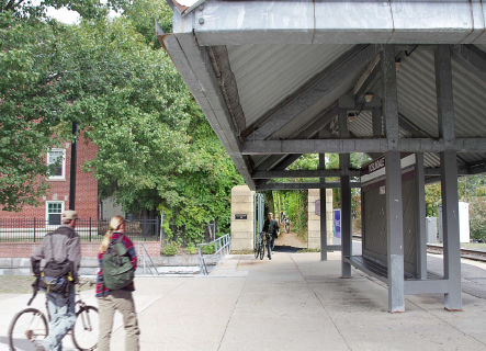
The Arboretum Link/Roslindale Gateway Path is a proposed off-street walking and bicycling path. It will be located between Forest Hills Station and Roslindale Village. (Image Credit: WalkUp Roslindale rendering by Halvorson Design Partnership)
CONNECT HISTORIC BOSTON
Connect Historic Boston improves walking and bicycling access to many of Boston's historic sites. These include Faneuil Hall and the Charlestown Navy Yard. It also links several transit hubs, including North Station. Bicycling access is much improved with two-way, sidewalk-level separated bike lanes.
More information
More information- MassTrails
- Mattapan Food and Fitness Coalition
- MA Department of Conservation and Recreation (DCR)
- Metropolitan Area Planning Council Landline Coalition
- Neponset River Greenway Council
- Southwest Corridor Park Management Advisory Committee
- Trustees of Reservations
- WalkBoston

